A 1,664 km road with roadhouses 65 to 180 km apart, cliffs, whales and the longest straight in Australia.
The Eyre Highway is a 1,664 km sealed road across the Nullarbor Plain, running from Norseman in Western Australia through Eucla and Ceduna to Port Augusta. Roadhouses stand 65 to 180 km apart on the Western Australian stretch, and the 90 Mile Straight runs 146.6 km without turning.
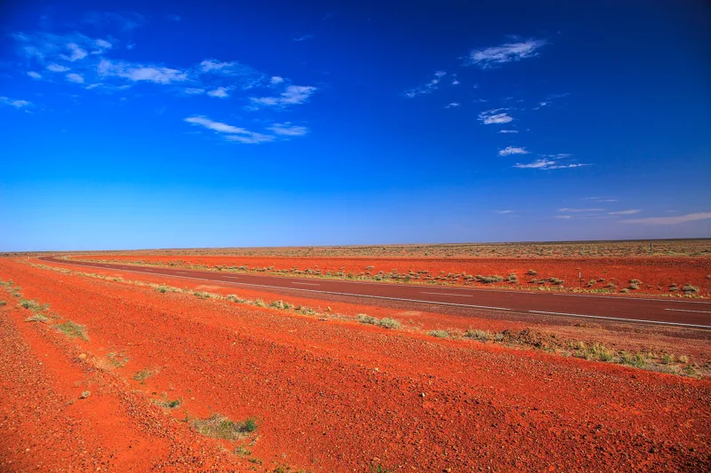
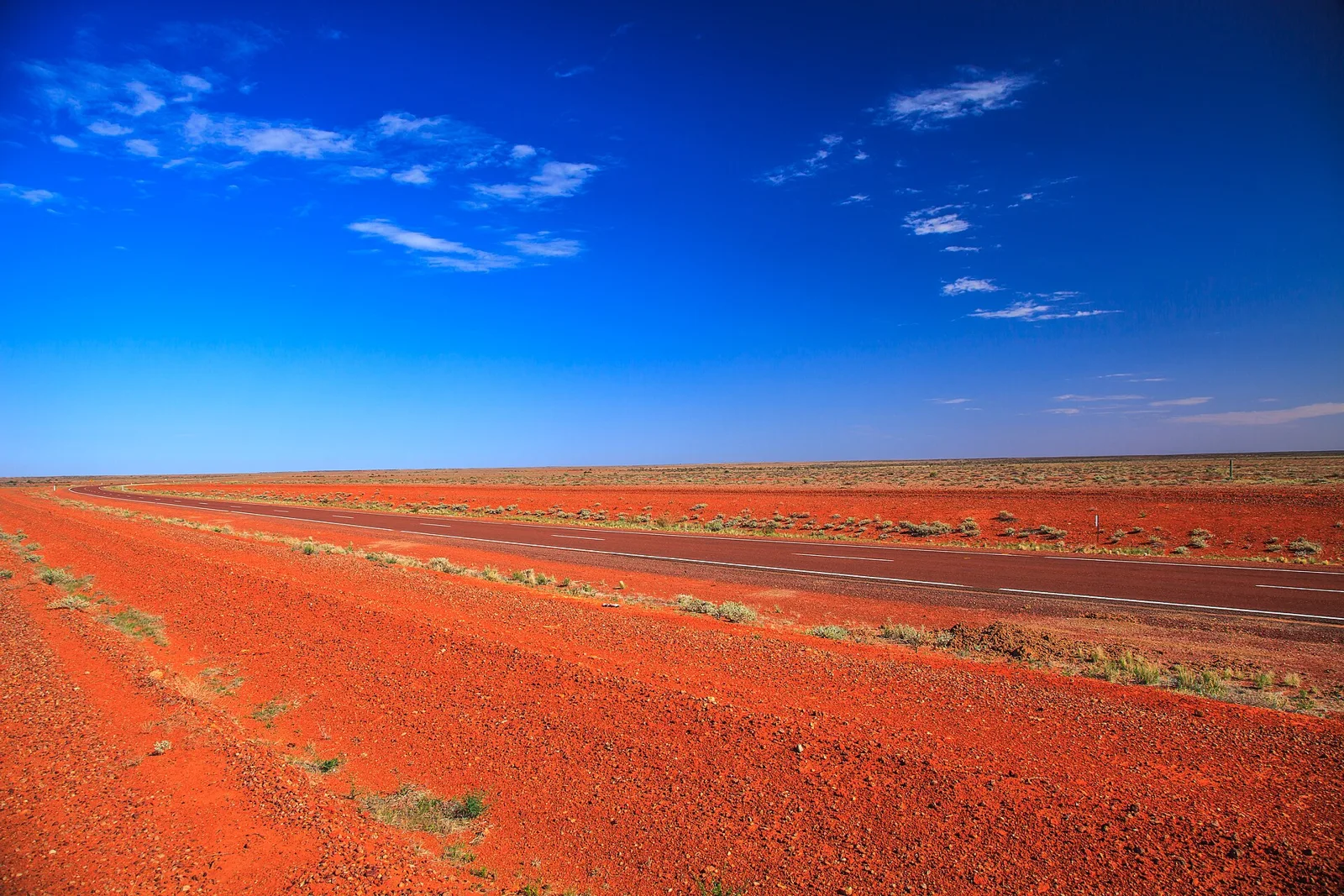
Between Balladonia and Caiguna in Western Australia, the Eyre Highway holds a single heading for 146.6 km, Australia's longest straight stretch of road, and among the longest in the world. It is only one episode in a crossing of the Nullarbor Plain that runs for 1,200 km from Norseman to Ceduna.
How long is the Eyre Highway?
The Eyre Highway measures 1,664 km (1,034 mi) and links Western Australia with South Australia across the Nullarbor Plain. It runs from Norseman, past Eucla, to the state border, then on to Ceduna and Port Augusta. It is the only sealed road between the two states, and part of the Highway 1 route that joins Perth and Adelaide.
Split into legs, the numbers are easier to picture. From Norseman the road runs east for 1,200 km (750 mi) across the plain to Ceduna. After Ceduna it carries on for another 470 km (290 mi) across the top of the Eyre Peninsula to Port Augusta. Only 720 km (450 mi) of the whole lies in Western Australia. The road is signed National Highway 1 in that state and National Highway A1 in South Australia.
After Ceduna, the route heads south-east to Kyancutta, turns east towards Kimba, then north-east past Iron Knob to meet the Lincoln Highway. Near Port Augusta it joins the Augusta and Stuart Highways, just north-west of the Joy Baluch AM Bridge over Spencer Gulf. A second route between Ceduna and Port Augusta, signed B100, follows the Flinders Highway down the west side of the peninsula and the Lincoln Highway up the east side.
Across the 720 km of the Western Australian stretch, Eucla is the only true settlement, standing 12 km (7.5 mi) from the border.
What is the Nullarbor Plain?
The Nullarbor Plain is a flat, almost treeless stretch of arid or semi-arid country on the coast of the Great Australian Bight, bordered to the north by the Great Victoria Desert. It covers about 200,000 square kilometres (77,000 sq mi) and reaches about 1,100 kilometres (684 mi) across at its widest. It is the largest single exposure of limestone bedrock on Earth.
The name comes from Latin, nulla and arbor, meaning no tree. The Aboriginal name Oondiri is said to mean the waterless. What the traveller sees is a straight road and flat terrain covered in saltbush, and little else, until the highway reaches the Eyre Peninsula, where farmland has taken over and remnant belts of eucalyptus woodland line the road verges.
Underneath is an old seabed. The limestone is made from the skeletons of marine life, and it hides caves that feed blowholes up to several hundred metres inland from the coast. Meteorites keep well in the dry air, and many have been found around Mundrabilla, a few weighing several tonnes. In South Australia the Murrawijinie Cave is open to the public, while most caves on the Western Australian side need a permit.
Where is the longest straight road in Australia?
It lies on the Eyre Highway between Balladonia and Caiguna, where the road runs 146.6 km (91.1 mi) without a bend. Signposts call it the 90 Mile Straight. Another account of the same stretch rounds it to 146 km and calls it the longest run of straight sealed road in the country.
The railway across the plain does better. The Trans-Australian Railway, which crosses from Kalgoorlie to Port Augusta, holds the world's longest straight stretch of railway, at 478 km (297 mi). Unlike the highway, which hugs the plain's southern edge, the line cuts through its centre.
Where can you stop between Norseman and Ceduna?
Roadhouses are the answer. Across the 720 km of the Western Australian stretch, Eucla is the only true settlement, standing 12 km (7.5 mi) from the border. Everything else is a roadhouse, at Balladonia, Caiguna, Cocklebiddy, Madura and Mundrabilla, set 65 to 180 km (40 to 110 mi) apart.
Beyond the border, the road passes through Border Village, then the Nullarbor Wilderness Protection Area and the localities of Yalata, Penong and Ceduna. Along the whole route, the small settlements that serve travellers are mostly one to two hundred kilometres apart. At Cook in South Australia, off the highway on the railway, a school and a golf course once served about 40 people, and the town now has a permanent population of four.
Emergency cover is built into the road. Because of the remoteness, some widened sections serve as landing strips for the Royal Flying Doctor Service. Each is signposted, has runway markings painted on the pavement, and has turnaround bays for small aircraft.
What is there to see along the way?
The road also has its scenery in pieces. Heading east, it drops through the Madura Pass, ahead of the Madura roadhouse, off the Nullarbor Plain and onto the coastal Roe Plains, which stretch about 300 km (190 mi) along the shore and reach 35 km (22 mi) inland at their widest. The road skirts the foot of the escarpment, then climbs back up through the Eucla Pass shortly before Eucla.
The cliffs come next. The Baxter Cliffs run for 200 km (120 mi), and near Eucla the escarpment meets the sea again as the Bunda or Nullarbor Cliffs, which continue for 220 km (140 mi) to the Head of the Bight. They rise as high as 60 metres (200 feet). The highway passes close to them between Eucla and the Head of the Bight.
Winter adds whales. Southern right whales travel to the Bight from their Antarctic feeding grounds, with the Head of Bight the favoured spot, where they calve and breed. Their numbers were badly reduced by 19th century whaling, though they have since recovered to some extent. The Eyre Bird Observatory is one place on the coast devoted to the natural history of the area.
Inland, the Nullarbor Wilderness Protection Area was proclaimed in 2013 and spans nearly 200 km (120 mi), starting at the Western Australian border. With it, the amount of South Australian land under environmental protection doubled, reaching 1.8 million hectares (4.4 million acres). Some 390 plant species grow there. Stations sit on the margins of the plain, among them Rawlinna, at 1 million hectares the largest sheep station in the world, and the older Madura Station, at 690,000 ha.
What are the speed limit and the traffic like?
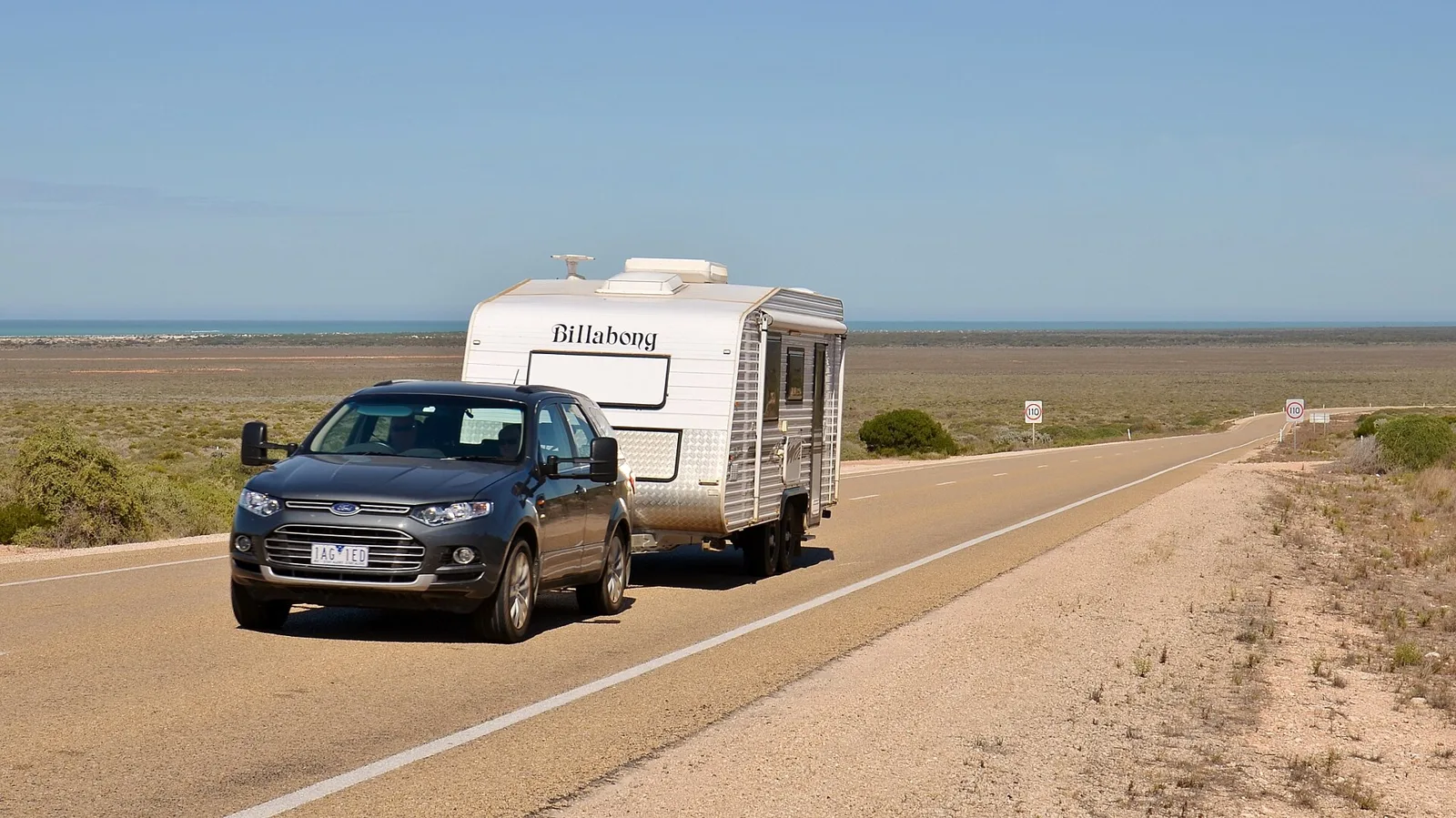
Almost all of the road is a single carriageway with one lane each way and a 110 km/h (68 mph) limit, lowered around built-up areas. Road trains of up to 42.5 metres (139 ft) are permitted, in A-double or B-triple form. Between Ceduna and the Colona Station turnoff, quads up to 49.5 metres (163 feet) may run, held to 100 km/h (62 mph).
Traffic is light. Western Australia counted between 430 and 760 vehicles a day in 2013/14. In South Australia, the estimated daily average in September 2015 was 500 to 1,500 west of the Lincoln Highway and 2,700 east of it. Numbers jump when overbooked, expensive air services push people to drive across for major sporting events.
How safe is the crossing?
By one measure it is among the safest in the country. In 2011 the Australian Automobile Association ranked it among the lowest-risk highways in Australia on total casualty crashes for each length of road. Risk per vehicle kilometre varies by section, however.
| Section | Individual risk, 2011 |
|---|---|
| West of Yalata | Low |
| East of Yalata to Fowlers Bay (95 km) | High |
| Fowlers Bay to Ceduna (106 km) | Medium |
| Ceduna to Port Augusta | Low-medium |
Star ratings in 2013 tell a similar story. In Western Australia roughly 10% was rated one or two stars out of five, mainly towards the Norseman end, and 91% three or four stars. In South Australia 49% rated one or two stars, mostly between Yalata and Ceduna and across the Eyre Peninsula, with the other 51% at three or four stars.
How hot and cold does the Nullarbor get?
Summer days can be scorching, with temperatures close to 50 degrees Celsius (122 F), while winter nights frequently fall well below freezing. The plain is classed as a cold desert and cold semi-arid zone, unlike the hot desert in the middle of the continent.
Rain is scarce. Cook averages 184.1 millimetres (7.25 in) a year, mostly between May and August, and summer rain comes mainly from sporadic storms, though a fading tropical system can occasionally bring heavier falls. The plain has recorded 49.9 degrees Celsius (121.8 F) at Nullarbor, South Australia, the fourth hottest reading ever taken in Australia and the hottest for December. At Eyre, it recorded -7.2 degrees Celsius (19.0 F), the coldest temperature on record in Western Australia.
How did the Eyre Highway come to be?
The route belongs to Edward John Eyre, the first European to cross the Nullarbor overland, in 1840 and 1841. His trip from Adelaide to Albany covered almost 2,000 miles (3,200 km). It was a near disaster. He set out from Fowlers Bay on 17 November 1840, accompanied by John Baxter and three Aboriginal men, turned back when three horses died of dehydration, and tried again on 25 February 1841. By 29 April the party was at Caiguna, where a shortage of supplies and water led to a mutiny, and two of the Aboriginal men killed Baxter and made off with the stores. Eyre and Wylie, the third man, pushed on, helped by supplies from a French whaling ship anchored at Rossiter Bay, 36 km east of Esperance, and reached Albany in June 1841.
The East-West Telegraph line, built between 1875 and 1877 after John Forrest retraced Eyre's route in 1870, left a trail that adventurous motorists could follow. Many were unprepared and made a nuisance of themselves, scrounging petrol, fouling water supplies and leaving gates open.
In 1938 the Royal Automobile Club of Western Australia asked the federal government for a national highway, and was turned down. That changed in May 1941, after the Stuart Highway was built. A route close to the railway was ruled out because of limestone outcrops, and with war in the Pacific looking likely, work began in July 1941 on a line east from Norseman. The Army looked after fuel, food and communications, while the state road departments built the road. It was open to traffic in January 1942 and finished in June 1942, at twice the initial estimate of 125,000 pounds.
The result was little more than a track. Only the Madura and Eucla Passes had bitumen, and the formed road was 30 feet (9 m) wide, with some lightly gravelled stretches 16 feet (4.9 m) wide. By mid-century, big water tanks of up to 44,000 imperial gallons (200,000 L) stood beside the road, among them one 28 miles (45 km) east of Mundrabilla and others at Madura Pass, Moonera and Cocklebiddy.
Its name changed along the way. Prime Minister John Curtin announced on 21 January 1942 that the war cabinet had named it the Forrest Highway, after John Forrest, for military purposes. The two state naming committees chose Eyre Highway, South Australia adopted it on 20 May 1943, and Western Australia gazetted it on 11 June 1943.
When was the highway sealed?
Sealing came slowly. In the 1940s and 1950s the road carried about fourteen vehicles a day, which could not justify expensive work. Dry spells turned the soil to a powder called bulldust, and the smallest shower made the surface boggy. The surge of vehicles heading for the 1962 Commonwealth Games in Perth left the road damaged in many places, and repairs used salt water pumped from 350 feet (110 m) below the surface.
Sealing started at Norseman in 1960. The Western Australian section was finished in 1969 and the South Australian section in 1976. The federal government refused a special allocation, so the two states paid over a number of years. Widening and reconstruction of parts of the road has gone on since the 1980s.
Where this goes next
For the road itself, improvement has been steady rather than a single project, with portions widened and reconstructed since the 1980s. Offshore, the Great Australian Bight has seen plans come and go. Exploration for oil and gas first began in the late 1960s, and BP, Equinor and Chevron proposed exploration wells in the southern part from 2017 onwards.
The proposals met strong community opposition. BP withdrew on 11 October 2016, Chevron left in October 2017 and returned with BP in 2019, and approval of exploration plans came in late 2019. Equinor withdrew in February 2020, citing profitability.