Four of the best-known outback routes, what each demands of a vehicle, and how rain, heat and distance shape the planning.
The Gibb River Road, Birdsville Track, Oodnadatta Track and Simpson Desert crossing are Australia's best-known outback drives. The first three are largely unsealed roads of 517 to almost 660 km, while the Simpson has only survey tracks. A 4WD is recommended or essential on all four, with fuel and water planned carefully.
Birdsville sits at the end of one of the driest tracks in Australia, where under 100 mm of rain falls in an average year. In early March 2010 the town recorded more rain in 24 hours than it usually sees in twelve months. That swing between bone dry and flooded explains how the Gibb River Road, the Birdsville Track, the Oodnadatta Track and the Simpson Desert crossing are planned, and what each asks of a driver.
Which outback tracks are the famous ones?
Four names dominate outback 4WD talk. The Gibb River Road cuts through the Kimberley in Western Australia. The Birdsville Track and the Oodnadatta Track both run to Marree in South Australia. The Simpson Desert crossing, by contrast, follows no maintained road at all, only tracks left by survey crews.
The Simpson Desert is only a little wetter, with about 150 mm a year, mostly in summer.
How do the four compare?
| Route | Length or size | Where | Surface and advice |
|---|---|---|---|
| Gibb River Road | Almost 660 km (410 mi) | Derby to the Great Northern Highway junction for Kununurra and Wyndham, Western Australia | Formed gravel with a few short bitumen sections; 4WD recommended |
| Birdsville Track | 517 km (321 mi) | Birdsville, Queensland, to Marree, South Australia | Graded dirt; condition changes after rain |
| Oodnadatta Track | 614 km (382 mi) | Marla to Marree via Oodnadatta, South Australia | Unsealed; most vehicles in dry weather, 4x4 essential in and after rain |
| Simpson Desert (French Line) | Desert of 176,500 km2 (68,100 sq mi) | Across the dunes between Queensland, South Australia and the Northern Territory | Well-equipped 4WD only, with extra fuel and water |
What is the Gibb River Road like?
The road began as a cattle route, and it still runs east to west for almost 660 km (410 mi) through the Kimberley, linking Derby with the Great Northern Highway junction near Kununurra and Wyndham. Since the mid-2000s it has been upgraded to a formed two-lane gravel road, with a few short bitumen sections. Even so, 4WD vehicles are still recommended. Its name comes from the geologist and explorer Andrew Gibb Maitland, who also lent it to a nearby river that does not actually cross the road.
The reasons are plain. There are water crossings, and many stretches are heavily corrugated. The wet season, typically November through March, often shuts the road because of flooding, and reopenings have sometimes been delayed, which frustrates both the tourism industry and the people who depend on the route.
Stops along it are mostly gorges and cattle stations. Windjana Gorge and Tunnel Creek National Parks are on the list, along with Adcock, Manning, Galvans, Lennard and Bell Gorges and the Wunaamin Miliwundi Ranges. Several working stations offer beds: Mount Hart Wilderness Lodge, Mount Barnett, Mount Elizabeth, Drysdale River, El Questro, Ellenbrae and Charnley River.
Its origins are agricultural. From 1948 an Air Beef Scheme flew meat from Glenroy Station to the coast twice a day, for onward shipping to the southern cities. A Commonwealth grant for a road followed in 1949, and work towards Derby started the next year as one of the Beef Roads Scheme projects. The southern section, finished in 1956 at a cost of 713,677 pounds, was used to truck live cattle. Main Roads Western Australia took over the northern section from the local shire in 1996 and upgraded the whole length.
The country it crosses is also the subject of a native title claim. The Dambimangari claim, filed in 1998 on behalf of three peoples, takes in a large area of the Kimberley. Its Wilinggin section, for the Ngarinyin, spans more than 60,150 km2 (23,220 sq mi) beside the road. It was the first of the three decided, by litigation on 27 August 2004.
What do the Birdsville and Oodnadatta Tracks demand?
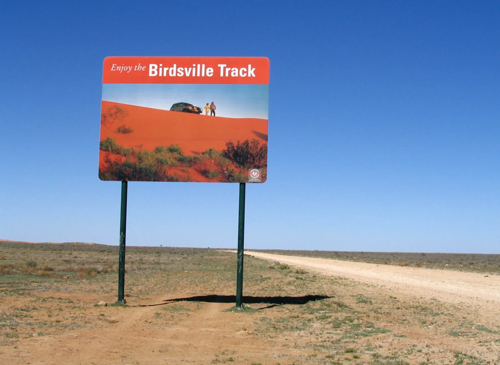
The Birdsville Track covers 517 km (321 mi) between Birdsville and Marree, crossing the Strzelecki, Sturt Stony and Tirari deserts. It was once rough enough to need a high-clearance 4WD. Today it is a graded dirt road that cattle trucks and tourists share, though flash floods and drifting sand can wreck long stretches.
Dry weather brings a shortcut. A northern route shown on maps as the Inside track saves 35 kilometres, and otherwise the road crosses no major junctions. Mungeranie station, 204 km from Marree and 313 km from Birdsville, has fuel, supplies and a hotel. The Walkers Crossing Track, which joins it to the Strzelecki Track, is shut in summer and passable only in dry weather.
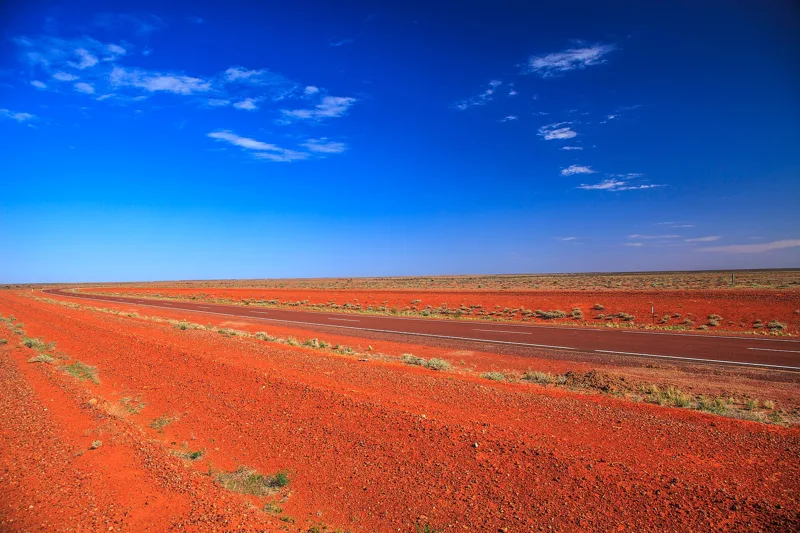
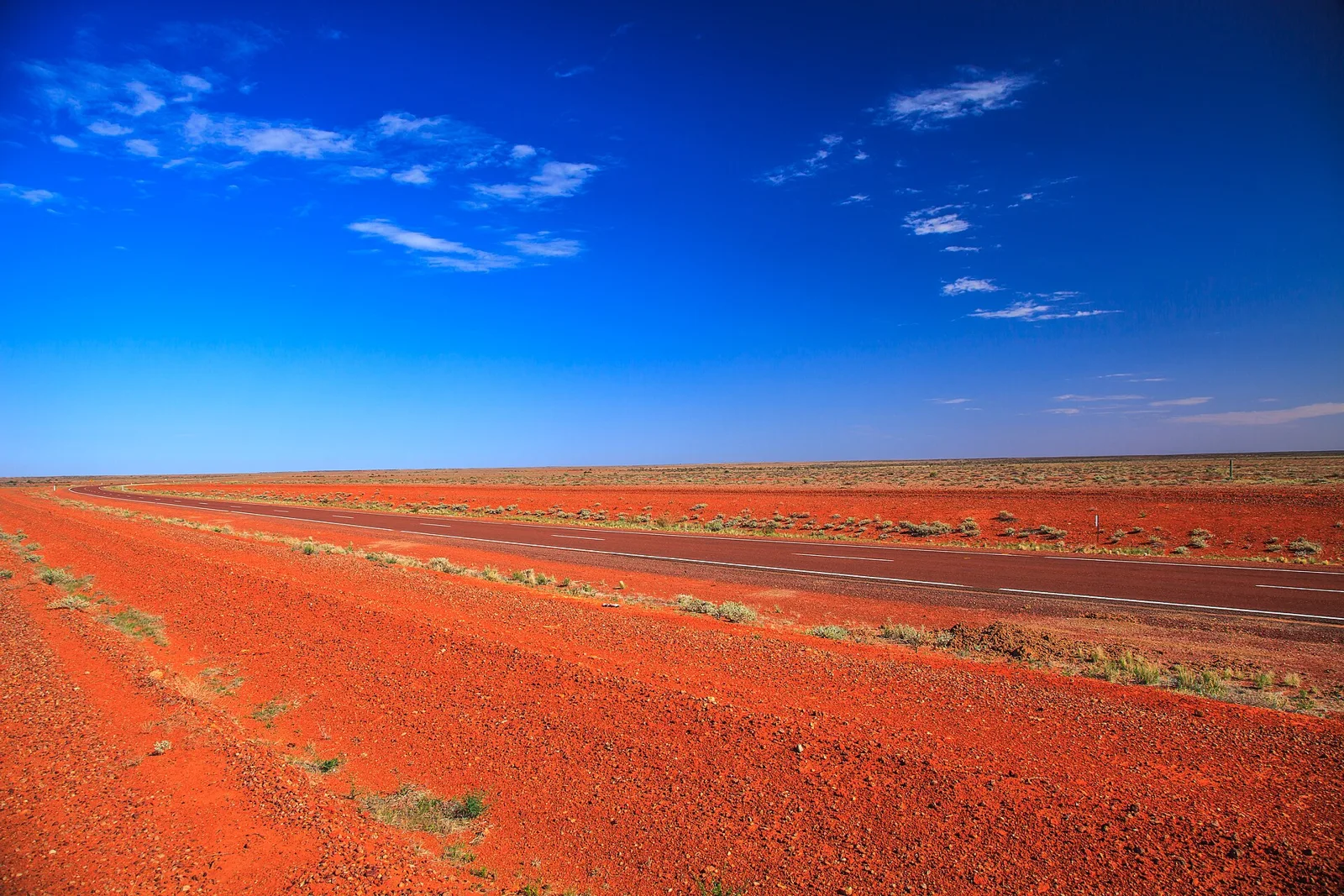
The Oodnadatta Track is longer, at 614 km (382 mi), and entirely unsealed. It runs from Marla through Oodnadatta and William Creek, skirts the southern lake of Kati Thanda-Lake Eyre National Park, and passes a string of mound springs including The Bubbler and Blanche Cup. Its surface has been well kept in recent years, so in dry weather most vehicles and caravans can manage it. A 4x4 makes the journey more comfortable, and is essential during and after rain. The Government of South Australia advises checking whether the track is open before setting out.
Both tracks follow water. The Birdsville route dates from the 1860s, when drovers used it to walk cattle to the railhead at Port Augusta, later moved to Marree. Percy Burt, a drover who set up a store at the place now called Birdsville, is credited with establishing it, and the route saved at least 1,000 km against the other way to Brisbane. By 1916 bores sunk into the Great Artesian Basin every 40 km had made stock movements easier and safer. The Oodnadatta route follows a traditional Aboriginal trading path, passes springs fed by the same basin, and later hosted the steam-hauled Central Australia Railway, the original line of The Ghan.
Can you cross the Simpson Desert?
Yes, but not on a road. No maintained road crosses the Simpson Desert, a region of 176,500 km2 (68,100 sq mi) that is the fourth-largest in Australia. The usable tracks were cut in the 1960s and 1970s by crews searching for oil and gas, and well-equipped four-wheel drives that carry extra fuel and water can still follow them.
The French Line is the most popular crossing, with the Rig Road, the QAA Line and the less travelled Madigan Line as alternatives. Most drivers go west to east. Prevailing winds help, and the western faces of the dunes are less steep, so each ascent is easier. Picture a row of ramps with the gentle face on the near side and a short drop on the far side. The east-facing slopes pitch at 34 to 38 degrees, while the west-facing ones rise at only 10 to 20 degrees.
Poeppel Corner has its own story. In 1880 the surveyor Augustus Poeppel marked the point where Queensland and South Australia meet the Northern Territory. Back in Adelaide, the links of his surveyor's chain were found to have stretched, which left the border post 300 m too far west. Larry Wells moved it to its proper place on the eastern bank of Lake Poeppel in 1884.
The scale is hard to grasp. These are the longest parallel sand dunes in the world, some running unbroken for up to 200 km. They stand around 3 m (9.8 ft) high in the west and about 30 m (98 ft) on the eastern side, and the largest, Nappanerica or Big Red, reaches 40 m (130 ft). A detour of 80 km north from the French Line, by way of the Centre Line, leads to the geographic centre of the desert.
The sand changes colour as it goes. Dunes shade from brilliant white through pink and orange to dark red, and the grains are mostly quartz. Iron oxide released as the sediment weathers is what turns pale grey sand beside the rivers and playas into brick red on the ridges.
People knew the desert long before the crossings. Aboriginal peoples have lived there for at least 5000 years. The Wangkangurru, who call it Munga-Thirri, survived on hand-dug wells known as mikiri, and ate breads and seed patties made from nardoo and pigweed seeds, until the Federation Drought. Europeans who arrived in the late 19th century judged the place uninhabitable.
Later visitors tested themselves on foot. In 1980 Bob Beer covered 420 km of the desert at a run, in 6.5 days, finishing at Birdsville. Denis Bartell walked it solo and unsupported in 1984, covering 390 km in 24 days by relying on old Aboriginal wells. In 2016 Sebastian Copeland and Mark George became the first to join the Madigan, Colson and French lines in a single walk, 650 km (404 miles) from Old Andado homestead to Birdsville, taking 26 days.
Events have followed the traffic. The Big Red Bash, promoted as the most remote music festival on Earth, raises money for the Royal Flying Doctor Service, and the Simpson Desert Bike Challenge crosses the desert every September.
How do heat, water and distance change planning?
Fuel comes first, because the gaps are long. Mungeranie station is where the Birdsville Track offers fuel, supplies and a hotel, and the last fuel on the western side of the Simpson Desert is at the Mount Dare hotel and store. Access to the desert starts from towns such as Innamincka and Oodnadatta on the South Australian side, and Birdsville, Bedourie, Thargomindah and Windorah on the Queensland side.
Water comes second. The Birdsville Track passes through one of the driest regions in the country, and the advice is to carry water and supplies for emergencies. The Simpson Desert is only a little wetter, with about 150 mm a year, mostly in summer.
Heat is the third pressure. Summer temperatures in the Simpson average 28 degrees Celsius and can reach 50 degrees, with large sand storms common, and even July can bring a heatwave. Since 2008 and 2009, because of excessive heat and drivers who were not experienced enough, the Department of Environment and Natural Resources has closed the desert in summer. Winter is the popular season, when tourists head for Dalhousie Springs, the Purnie Bore wetlands and Poeppel Corner, the point at which three jurisdictions meet.
Rain, finally, can end a trip. The Gibb River Road floods in the wet season, the Birdsville Track can lose long stretches to floodwater or drifting sand, and a 4x4 becomes essential on the Oodnadatta Track after rain. When wet weather arrived across Queensland's north-west and Gulf regions in 2009 and 2010, 17 million megalitres of water flowed into the western river systems towards Lake Eyre, and the Simpson Desert burst into colour.
Who made these routes famous?
The Simpson Desert has the most dramatic firsts. Explorer Charles Sturt was the first European to see it, between 1844 and 1846. In 1936 Ted Colson became the first non-indigenous person to cross the whole desert, on camels. In September 1962, the geologist Reg Sprigg, with his wife Griselda and their two children, completed the first crossing by vehicle.
On the Birdsville Track, the best-known figure is the mail driver Tom Kruse, who was the subject of the 1954 documentary The Back of Beyond by John Heyer. His runs ended in 1963, and an air service from Adelaide began in 1970. In 2006, for the Year of the Outback, Governor-General Michael Jeffery travelled the track in a 5-day event, and during the COVID-19 pandemic it gained popularity with drivers steering clear of New South Wales and the chance of quarantine.
John McDouall Stuart used the Oodnadatta route on his third expedition in 1859, and remains of railway sidings, bridges and telegraph repeater stations still line the track. Coward Springs Campground is among the best preserved, where a natural artesian spa sits beside the abandoned Curdimurka railway siding. The name Oodnadatta Track dates from around 1980, when Adam Plate of the Oodnadatta Progress Association gave it the name so that it would form a trio of unsealed tourist routes alongside the Birdsville and Strzelecki Tracks.
Where this goes next
The Birdsville Track was once earmarked to carry the number of National Route 83 under the first national route plan, which would have run from southern South Australia to far-north Queensland. That route was never fully signed, because the track remains largely unsealed. The Oodnadatta Track carries the map code D95 but is not signposted, as the department does not mark unsealed roads.
Land management in the Simpson Desert is also formalising. The Pmere Atherre Antenterreme Indigenous Protected Area, covering 47,311 square kilometres, belongs to a government programme that has grown since 1997 to support 96 such areas. The summer closure of the desert has applied since 2008 and 2009.