Carl Fisher's 1912 dinner, Cyrus Avery's hunt for a number and Ant Farm's buried tailfins: the story behind three places every American road trip points to.
Route 66 ran 3,940 km from Chicago to Santa Monica from 1926 until it was removed from the US highway system in 1985. The Lincoln Highway, dedicated in 1913, was the first car road across America. Cadillac Ranch, in Amarillo, is ten Cadillacs buried nose-first in 1974.
The first great American road helped to kill the second. The Lincoln Highway, dreamed up in 1912 as a way across the country for motor cars, shaped the thinking of a young soldier who crossed the continent on it in the 1919 Army Convoy. That soldier, Dwight D. Eisenhower, later championed the Federal Aid Highway Act of 1956, the law that began the Interstate system and, with it, the decline of Route 66.
Both roads outlived their official lives as landmarks of American car culture, and a third landmark, ten old Cadillacs nosed into a Texas field, grew out of the same romance with the road. Between them they trace the path from mud and gravel to the interstate and on to the roadside memorial.
How did the Lincoln Highway begin?
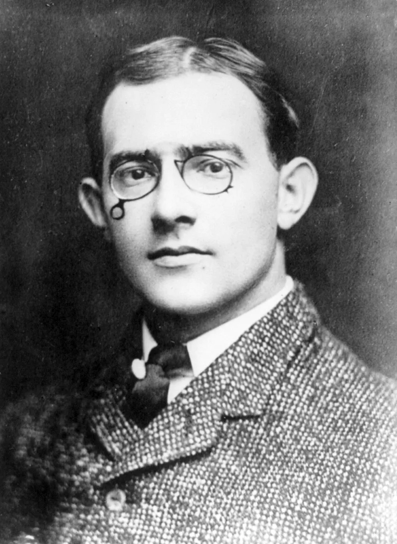
The Lincoln Highway began with a dinner in Indianapolis on 10 September 1912, when the car-headlight maker and race-track investor Carl G. Fisher proposed a rock-surfaced road from coast to coast, finished by 1 May 1915, in time for a San Francisco exposition. He put the cost at about $10 million, and within a month his friends had pledged $1 million.
The roads of 1912 explain his ambition. Railroads dominated long-distance travel, and roads were local business. Upkeep of country roads was left to the people living beside them, many state constitutions forbade paying for such schemes, and federal highway programmes would not take effect until 1921. Of about 3,500,000 km (2.2 million miles) of rural road, only 8.66% (306,541 km, or 190,476 miles) had an improved surface of gravel, stone, brick or the like. Interstate driving was seen as a luxury for rich travellers with weeks to spare.
Fisher believed that cars would only spread if roads got better. Henry Ford refused to contribute, taking the view that government ought to build America's roads, but Theodore Roosevelt and Thomas Edison did give, as did Woodrow Wilson, the first president to use a car often for relaxation.
The name came from one of Fisher's heroes, Abraham Lincoln. Another group had earlier reserved it for a proposed Washington to Gettysburg road, and Fisher had to consider the Coast-to-Coast Rock Highway and the Ocean-to-Ocean Highway until Congress turned down that group's funding request and its project collapsed. The Lincoln Highway Association was established on 1 July 1913. Henry Joy, president of Packard, became its president, so the effort would not look like a one-man crusade.
To find a western route, a Trail-Blazer tour set off from Indianapolis that same day with 17 cars and two trucks. It took 34 days, through Iowa mud, Nevada and Utah sand, boiling radiators, floods and broken axles, before a parade down San Francisco's Market Street. The route was announced on 14 September 1913 at 5,454 km (3,389 miles) and was dedicated on 31 October. Joy wanted it as straight as possible, so it did not always follow the Trail-Blazers' course, and officials in towns in Colorado and Kansas that had cheered the tour went away disappointed.
The first great American road helped to kill the second.
Where did the Lincoln Highway run?
It ran from Times Square in New York to Lincoln Park in San Francisco. The original route crossed 13 states. The Colorado Loop was dropped in 1915, and a 1928 realignment clipped the northern tip of West Virginia, so the road touched 14 states, 128 counties and more than 700 communities of every size at some point in its life.
Its length kept changing. The first official figure, in 1913, was 5,454 km (3,389 miles); by 1924 improvements had cut it to 5,057 km (3,142 miles). Add up every alignment the road ever used and the total reaches 9,450 km (5,872 miles). Less than half of the first route was improved road, and several stretches followed older routes, among them a New Jersey road laid out by Dutch colonists before 1675, Pennsylvania's Lancaster Turnpike of 1796 and the Chambersburg Turnpike, which carried much of the Army of Northern Virginia towards Gettysburg.
The numbered system of 1926 swallowed most of it. Pennsylvania to Wyoming became US 30, and the Interstate era later made I-80 the main coast-to-coast road, in places laid directly on top of old Lincoln Highway alignments in Wyoming, Utah and California. Across Nevada, the Lincoln Highway followed US 50, known as The Loneliest Road in America.
What did the Lincoln Highway leave behind?
It was the first national memorial to Abraham Lincoln, built nine years before the Lincoln Memorial in Washington, and the first automobile road across the country. Towns along it prospered, and it was known affectionately as The Main Street Across America. Its success inspired a crop of named long-distance roads, among them the Yellowstone Trail, Dixie Highway and Jefferson Highway, and its principal legacy is the 1956 Interstate law. The Lincoln Highway Association, set up to plan and promote the road, was re-formed in 1992 and works to preserve it.
How did Route 66 get its number?
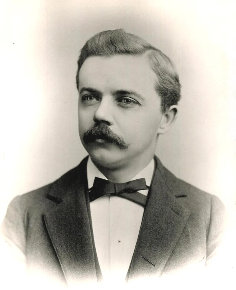
Route 66 got its number by accident of bureaucracy. The promoter Cyrus Avery wanted US 60 for his Chicago to Los Angeles road, but Kentucky officials argued, successfully, that 60 should run through their own state. Alternatives included US 62 or splitting 60 into branches. The deadlock broke when an Oklahoma highway engineer, John M. Page, spotted that 66 was unassigned, and Avery accepted it.
The highway was established on 11 November 1926 and signed the following year. Starting in Chicago, Illinois, it crossed Missouri and Kansas, then Oklahoma, Texas, New Mexico and Arizona, to finish at Santa Monica, a distance of 3,940 km (2,448 miles). Like other early US highways, it was stitched together from roads that already existed, borrowing from the National Old Trails Road, the Ozark Trails and the Lone Star Route. Avery and his allies sold it as the "shortest, best and most scenic route."
Route 66 and the Lincoln Highway side by side
| Feature | Lincoln Highway | Route 66 |
|---|---|---|
| Conceived or established | Conceived 1912, dedicated 31 October 1913 | Established 11 November 1926 |
| Ends | Times Square, New York to Lincoln Park, San Francisco | Chicago to Santa Monica |
| Length | 5,454 km (3,389 miles) in 1913; 5,057 km (3,142 miles) by 1924 | 3,940 km (2,448 miles) |
| States | 14 over its history | 8 |
| Promoter | Carl G. Fisher; Lincoln Highway Association, 1913 | Cyrus Avery; US Highway 66 Association, 1927 |
| Nickname | The Main Street Across America | Main Street of America, Mother Road |
| Fate | Replaced by numbered routes, largely I-80 | Removed from the US highway system in 1985 |
How did Route 66 become the Mother Road?
Promotion did much of it. The U.S. Highway 66 Association, set up in 1927 and led by Avery, campaigned for paving, maintenance and tourism. In 1928 it backed the Bunion Derby, a multiday footrace along the road that ran from Los Angeles to Chicago and on to New York. A 1932 advertising campaign in the Saturday Evening Post urged Americans to drive Route 66 to the Los Angeles Olympics. The association kept going until it disbanded in November 1979. By 1938 Route 66 had become the first US highway to be paved from end to end.
Hardship supplied the legend. In the Dust Bowl of the 1930s, people from the southern Great Plains, often called Okies, headed to California along the road looking for work, a movement John Steinbeck depicted in The Grapes of Wrath in 1939, the book that popularised the name Mother Road. Their traffic fed filling stations, restaurants and motor courts along the way.
By the middle of the century the road was a corridor for tourists heading to the Grand Canyon and the Painted Desert. The motels, cafes and service stations that sprang up gave American travel a look of its own, with teepee-shaped motels and themed filling stations. One survivor, the art deco U-Drop Inn at Shamrock, Texas, began as a filling station and cafe and now has a place on the National Register of Historic Places. That traffic also helped to launch the fast-food trade, including drive-through restaurants and regional chains.
It picked up further nicknames, among them Main Street of America and Will Rogers Highway. It turned up in songs and on television, and the story of small towns bypassed by the interstates sits at the heart of Disney and Pixar's film Cars in 2006.
How was Route 66 realigned and finally removed?
The road never stood still. Route 66 was moved repeatedly towards safer, higher-capacity alignments. In 1930, the stretch between Springfield and East St. Louis in Illinois was shifted to a more direct line that broadly matches present-day Interstate 55. Oklahoma's straighter alignment of 1933 skipped smaller communities, and a New Mexico realignment in 1937 sent the road through Albuquerque, shortening the journey considerably.
In 1936 the western end moved on from Los Angeles to Santa Monica, to the corner of Lincoln and Olympic Boulevards, where an official end-of-the-route sign still stands in front of Mel's Drive-In, a Googie-style building of 1959 that began as the Penguin Coffee shop and reopened in 2018 after restoration. Santa Monica Pier is called the route's symbolic end, though not the official one. A 1940 rerouting put the Arroyo Seco Parkway, linking Pasadena with Los Angeles, onto Route 66, one of the first freeways the highway absorbed.
Then the shrinking began. A faster road between Kingman and Needles bypassed the steep, winding Oatman section of the Black Mountains in 1953. Interstates took over: by 1970, Interstate 55 (Chicago to St. Louis) and Interstate 44 (St. Louis to Oklahoma City) had taken over large parts of the old route. In 1953 the Turner Turnpike opened between Tulsa and Oklahoma City, followed in 1957 by the Will Rogers Turnpike, and both ran alongside Route 66 and drew traffic from the towns on it.
The Federal-Aid Highway Act of 1956 began the real decline. In New Mexico, towns feared the effect of Interstate 40, and some argued over where it should run to keep access to local businesses, yet most were bypassed in the 1960s and 1970s. The 1965 Highway Beautification Act restricted roadside advertising along interstates, which made it harder for travellers to find businesses on the older alignments.
In 1963 the road's western end was cut back as California won approval to drop the section from Santa Monica to near Needles, leaving Pasadena as the practical end for a while. Once I-40 was finished across the Bristol Mountains in the early 1970s, the remaining stretch went too. In 1979 a further cut moved the end to Sanders, Arizona, and in 1985 the highway officials' association, AASHTO, formally took the number off the US Highway System.
What is left of Route 66?
A good deal. After decommissioning, segments became business loops for neighbouring interstates, state highways or local roads, and some were abandoned. Many pieces now form Historic Route 66, a National Scenic Byway. Some stretches stay close to their original state, such as narrow early "sidewalk highways," each a single paved lane with kerbs and gravel shoulders.
What is Cadillac Ranch?
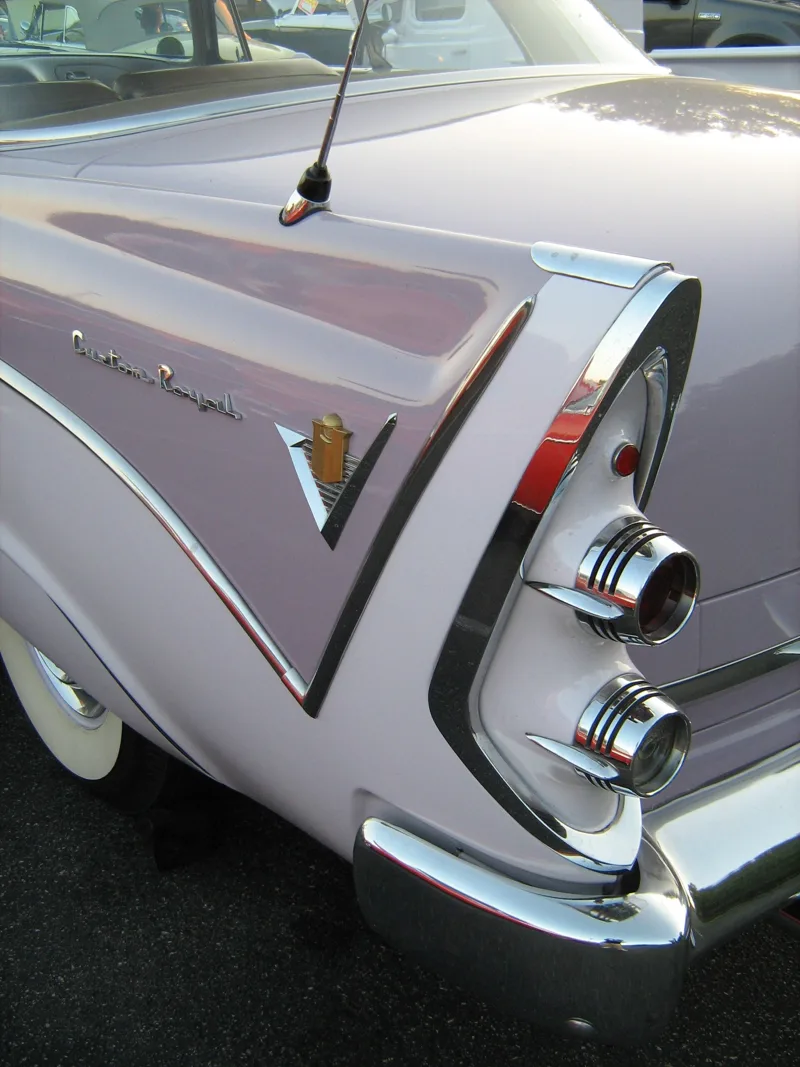
Cadillac Ranch, an artwork in Amarillo, Texas, dates from 1974 and came from three members of the Ant Farm collective: Chip Lord, Hudson Marquez and Doug Michels. It consists of a row of ten Cadillacs from 1949 to 1963, buried nose-first in the ground. The cars were older running vehicles, used cars or junkers, chosen to span the generations of the Cadillac line and the changing shape of its tailfins. Visit Amarillo says their tilt matches that of the Giza pyramids.
Lord and Michels were architects, and Marquez was a Tulane art student. Ant Farm, Lord has said, began as an alternative architectural practice, an attempt to subvert corporate ways of doing architecture. Marquez has told how a children's book left in a bar near San Francisco, The Look of Cars, had a section on the rise and fall of the tailfin, and that he drew it up with little else to do.
The group says that in 1972 someone handed it a list of eccentric millionaires, and that Stanley Marsh 3 of Amarillo was on it. Marsh answered that the idea was so irrelevant and silly that he wanted to give it his full attention, with a reply promised by April Fool's Day. He backed it. Between 1 and 17 May 1974, writing as "Leo Wyoming," he ran adverts in the Amarillo Globe-Times for used Cadillacs from 1948, 1949, 1954, 1957 and 1958 that need not run, with towing paid.
Why was Cadillac Ranch moved?
The cars first stood in a wheat field. In 1997 a local contractor quietly moved the installation two miles (three kilometres) west, to a cow pasture beside Interstate 40, to put it farther from the edge of the expanding city. Marsh owned both sites and was a well-known patron of Amarillo art whose projects also included Floating Mesa, Robert Smithson's Amarillo Ramp and a series of fake traffic signs called the Dynamite Museum. By 2013 he no longer owned Cadillac Ranch, which appears to have passed to a family trust before his death in June 2014.
Visiting is tacitly encouraged, although the site is private land: visitors drive along a frontage road and walk through an unlocked gate. Spray-painting the cars is welcomed, and Ant Farm artists have backed that kind of public interaction, so the cars, which lost their original colours long ago, are covered in layers of paint.
They are repainted from time to time. They have been white for a television commercial, pink for Marsh's wife Wendy's birthday, flat black when Doug Michels died, rainbow-coloured in 2012 for LGBT pride week and solid black with a Black Lives Matter message in June 2020. A motel chain once restored the original colours as part of a Route 66 landmark restoration series, and the new paint and its plaque lasted less than 24 hours without fresh graffiti. On 8 September 2019 the oldest of the cars was reportedly damaged by an arson fire.
Cadillac Ranch in song, film and television
Bruce Springsteen named a song after it on the 1980 album The River, a track since recorded by Status Quo and by the Nitty Gritty Dirt Band. Chris LeDoux recorded a different song with the same title in 1992, a duet with Garth Brooks that reached number 18 on the Billboard Hot Country chart. James Brown's 1985 video for Living in America and Cage the Elephant's 2008 video for Ain't No Rest for the Wicked used its imagery, and Brooks and Dunn shot their last video there in 2009.
On the screen, the 1996 film Cadillac Ranch was set in the Texas Panhandle. In Pixar's Cars the ranch becomes a mountain range, and the credits acknowledge Ant Farm; that image has since been rebuilt as a centrepiece of Cars Land at Disney California Adventure. The last scene of a King of the Hill episode has Hank Hill pushing his father's Cadillac nose-first into a hole as a reference to the ranch.
Where this goes next
The work now is preservation and anniversaries. The Lincoln Highway Association exists to promote and preserve its road, and Historic Route 66 survives as a National Scenic Byway with its Mel's Drive-In sign and sidewalk highways. At Cadillac Ranch, Chip Lord led a repaint in grey primer in June 2024 to mark the 50th anniversary, as a celebratory reset. An exhibition, Cadillac Ranch at 50, ran from June to August 2024 with photographs by Wyatt McSpadden, and in October 2024 Amarillo's orchestra premiered a new orchestral work by Michael Daugherty, commissioned for the anniversary and for the orchestra's own centennial.