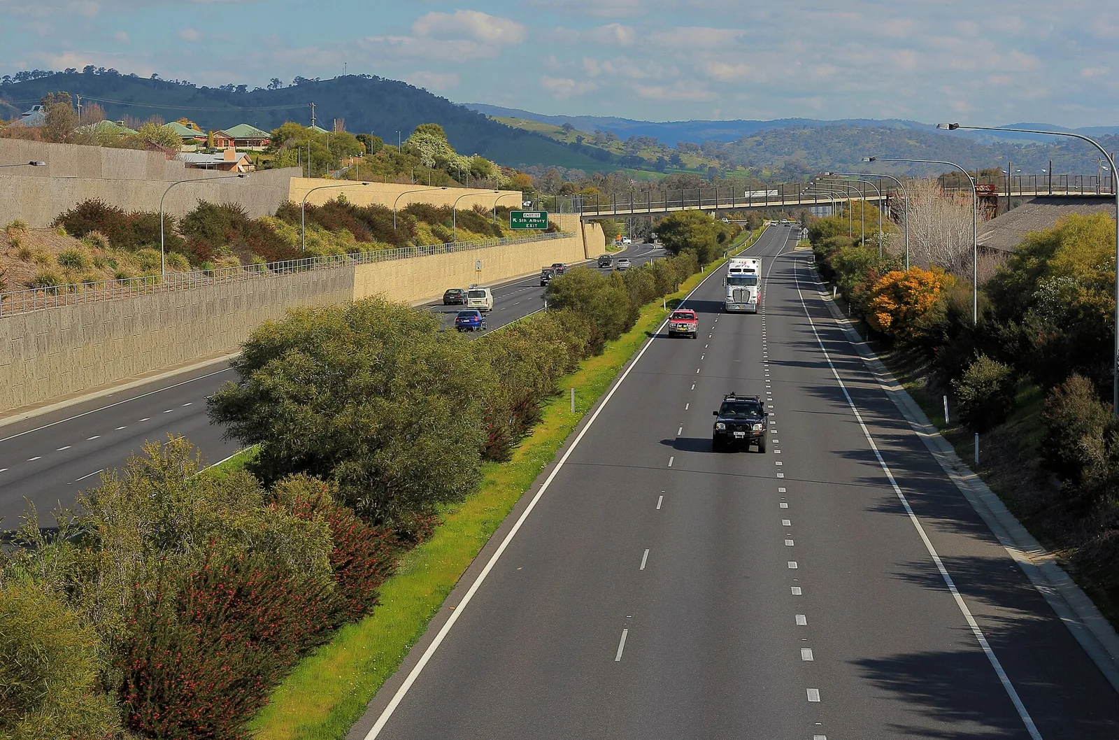
840 km inland on a 110 km/h freeway-standard road, or 1,040 km along the coast: what each highway offers and how each came to exist.
The Hume Highway is the inland route from Sydney to Melbourne at 840 kilometres, mostly dual carriageway with a 110 km/h limit. The Princes Highway follows the coast for 1,040 kilometres, with a mix of freeway, two-lane road and towns. The Hume is a freight artery, while the Princes is the more scenic and leisurely road.
Two sealed roads connect Sydney and Melbourne, and one is far longer than the other. The Hume Highway is almost all dual carriageway with a 110 km/h limit, while the Princes Highway hugs the coast and takes a far more indirect line. They differ in distance, road standard, scenery and history, and a third road, the Great Alpine Road, can join the two.
How far is it from Sydney to Melbourne by road?
By the Hume Highway the distance is 840 kilometres (520 mi), although the Princes Highway's own description rounds the Hume to 870 kilometres (540 mi) when it makes the comparison. By the coastal Princes Highway, along Highway 1, the Sydney-to-Melbourne run is 1,040 kilometres (650 mi).
The gap exists because the Princes follows the shoreline for most of its length. Sydney to Adelaide on that road is 1,941 kilometres (1,206 mi) along Highway 1, or 1,898 kilometres (1,179 mi) by the former alignments, though those older routes are slower and often poorly connected where they were bypassed. Its setting makes it a different kind of drive. Because it is rural and carries lower traffic volumes, the Princes is a more scenic and leisurely road than the main inter-city highways.
Tolls arrive at the city ends rather than along the open road.
What is the Hume Highway like to drive?
The Hume is a freight artery and mostly a dual carriageway, with long freeway stretches. Upgrading to dual carriageway all the way from the outskirts of Sydney to the outskirts of Melbourne was completed on 7 August 2013, and the speed limit along the full length is 110 km/h (68.4 mph). It is part of the Auslink National Network, carrying goods between the two cities and serving Albury-Wodonga and Canberra.
Its name changes with the state and the standard. In metropolitan Sydney it is the Hume Highway. Between the Cutler Interchange and Berrima it is the Hume Motorway, then the Hume Highway again across the rest of New South Wales, and the Hume Freeway in Victoria. Outside the big cities it is generally dual carriageway, with a few crossroads at road level and limits on driveways joining it. Long runs, mostly bypasses of larger towns, are full freeway.
Two stretches were built as major deviations and are full freeway as well: Casula to Berrima, constructed between 1973 and 1992, and Broadford to Wallan, from 1976. VicRoads classes the entire Victorian section as a freeway, although a few intersections there are not yet grade-separated.
The two ends are busy. In Sydney, the Hume Highway starts at Parramatta Road in Ashfield, and the main Hume effectively begins at Prestons, where the M5 South West Motorway meets the Westlink M7. Both of those motorways are tolled. At the Melbourne end, the Craigieburn Bypass, opened in two stages in December 2004 and December 2005, takes the freeway east of its former line, ending at the Western and Metropolitan Ring Roads. Craigieburn lies 27 kilometres (17 mi) north of the city centre.
What do you see along the Hume Highway?
North from Melbourne the road climbs through the hills of the Great Dividing Range. Some of the country carries box eucalypt forest, but most has been cleared for farming. Near Seymour the land levels into flat, mostly cleared farmland that runs to Wodonga and the New South Wales border. It looks nothing like the Outback, although a dry summer can leave the ground parched and brown.
Near Glenrowan, as the road comes down from the Warby Range, Mount Buffalo shows in the distance to the east, and a museum commemorating Ned Kelly sits nearby. At Wangaratta the highway passes close to the wine-producing districts of Rutherglen and Milawa. The Murray River, whose south bank is the state border, is crossed on the Albury-Wodonga bypass.
Beyond Albury the highway skirts Lake Hume and runs over undulating country towards Holbrook and Tarcutta. Just north of Tarcutta it meets the first of several ranges that are outliers of the Great Dividing Range, and climbs to the tablelands west of Yass. It then turns east to Goulburn and north-east again. Most of the country between Albury and Marulan is given over to wool, with Yass and Goulburn especially known for fine wool.
How does the Princes Highway route run?
The Princes Highway starts in Chippendale, at the junction of Broadway and City Road in Sydney, and runs south through the St George area and Sutherland Shire to Waterfall. South of Waterfall, the 55-kilometre (34 mi) Princes Motorway, national route M1, parallels the older road as far as the top of Bulli Pass outside Wollongong. The motorway carries most of the traffic. Mount Ousley Road takes inter-city traffic around the northern suburbs of Wollongong.
From Oak Flats the highway is dual carriageway, mostly to freeway standard, except at the Kiama bends. After Gerringong and Foxground it bypasses Berry, where it follows steeper gradients than the flat ground used by the railway to the east. From Jervis Bay Road southward it is mostly a single two-lane road along the New South Wales South Coast, through Ulladulla, Batemans Bay, Moruya and Narooma, past Bega and Merimbula, and through Eden.
It reaches the Victorian border at the Black-Allan Line, 550 kilometres (340 mi) from Sydney and 515 kilometres (320 mi) from Melbourne. In Victoria the highway passes Orbost, Bairnsdale and Sale in Gippsland, then crosses the Latrobe Valley, bypassing Morwell, Warragul and Pakenham on the way to Dandenong. Most of this section is freeway standard. The main outstanding work is a freeway bypass of Traralgon, though the road through that town is already urban dual carriageway.
How do the two highways compare?
| Feature | Hume Highway | Princes Highway |
|---|---|---|
| Sydney to Melbourne | 840 km (520 mi); 870 km (540 mi) in another account | 1,040 km (650 mi) on Highway 1 |
| Character | Inland; mostly dual carriageway, with full freeway lengths | Coastal; mostly single two-lane carriageway in the south of New South Wales |
| Route number | National Route 31 (M31 on the motorway) | Highway 1, with the M1 through the cities |
| Limit and layout | 110 km/h (68.4 mph) on the full length | Six-lane divided road in Sydney; dual carriageway on the busiest sections |
| Named | Hume Highway in 1928 | Prince's Highway after the 1920 visit plan |
| Passes | Goulburn, Yass, Albury-Wodonga, Wangaratta, Seymour | Wollongong, Nowra, Batemans Bay, Eden, Orbost, Bairnsdale, Sale |
Do either of the roads have tolls?
Tolls arrive at the city ends rather than along the open road. The M5 and Westlink M7, which meet at Prestons where the Hume Motorway begins, are both tolled. On the Princes route, the Melbourne section of the M1 uses the southern link of the CityLink tollway, which together with the Monash and West Gate Freeways carries the national route through the city and avoids central Melbourne.
That M1 section has an advanced freeway management system over its 75-kilometre (47 mi) urban length between Narre Warren and Werribee, with overhead gantries showing speed and lane availability, electronic message boards and real-time drive time signs. Most on-ramps are controlled by traffic lights, depending on the density and speed of traffic.
Where does the Princes Highway get congested?
The urban parts, mostly. West of Melbourne, the West Gate Freeway and Geelong Road merge into the Princes Freeway, which is unusual among Australian inter-city freeways in carrying enough traffic to need three or four lanes each way. It is often congested in the morning and afternoon peaks, and on reaching the northern edge of Geelong the highway becomes a three-lane dual carriageway with traffic-light intersections, which can be heavily congested.
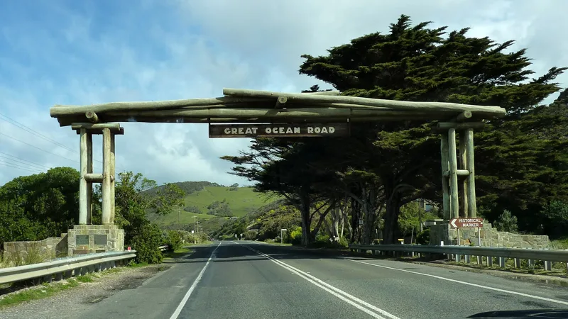
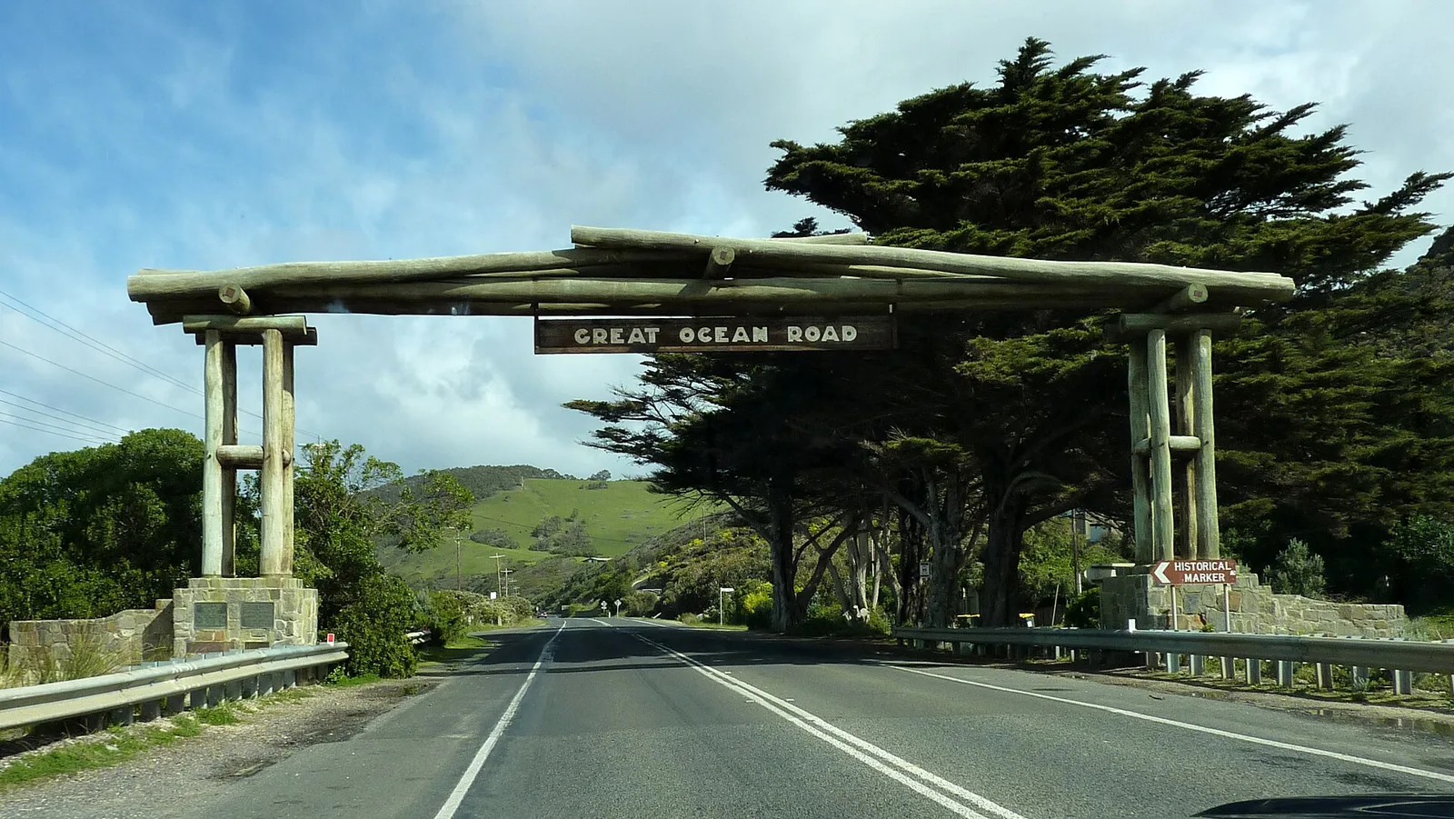
The Geelong Ring Road, finished in 2008 and 2009, changed that for through traffic. With it, the M1 route runs freeway standard from Winchelsea to Traralgon without a set of traffic lights, apart from Yarragon and Trafalgar, which are yet to be bypassed. The section to Winchelsea opened in 2015. West of there, the road is being rebuilt as dual carriageway through Colac towards Camperdown and the port of Warrnambool. Because this section runs inland, it misses the Great Ocean Road, which is scenic but slower.
Why are they called the Hume and the Princes Highways?
The Hume Highway honours Hamilton Hume, who with William Hovell made the first overland journey between Sydney and the Port Phillip District, from Appin to Port Phillip and back, in 1824. The Great Southern Road in New South Wales and the North-Eastern Highway in Victoria were renamed for him in 1928, and the highway was fully sealed by 1940.
The Princes Highway got its name from a royal tour. Existing roads were renamed Prince's Highway ahead of the planned visit to Australia in 1920 by the Prince of Wales, who later became Edward VIII. Backers had hoped he could travel overland from Melbourne to Sydney. An inland route via Yass was considered, but the limited time and the cost of bringing the road up to standard meant the trip never happened. The Prince did give his permission for the name. Opening ceremonies followed in 1920, at Warragul on 10 August and at Bulli on 19 October.
How did the Hume Highway develop?
Early exploration south-west of Sydney was slow because the Bargo brush was thought almost impenetrable. Charles Throsby got through it in 1804 and reached the tablelands near Moss Vale, and in 1818 he got as far as Lake Bathurst and the Goulburn Plains. Hume and Hovell's 1824 journey followed, and farming on the Southern Tablelands then grew quickly. The modern route is much the same as the one the pioneers used.
The road climbs the escarpment by the Bargo Ramp, one of the few easy crossings of the steep edge of the Great Dividing Range. Four high-level bridges carry it across river gorges and spare it the Razorback Range. The long pull from Menangle to Mittagong is hard to notice at freeway speed, yet the highway climbs without relief for 16 kilometres (10 mi) from the Pheasants Nest Bridge to Yerrinbool, and by Aylmerton has gained over 430 metres (1,410 ft) in 25 kilometres (16 mi).
Governor Lachlan Macquarie ordered a road from Picton to the Goulburn Plains in 1819, which became the Great Southern Road. Surveyor-General Thomas Mitchell rebuilt and re-routed part of it in 1833, and his route is still largely the one the highway follows. His stone arch culvert at Towrang Creek, 10 kilometres north of Goulburn, still stands. As late as 1858 the southern end was described as barely more than a bullock track. In Victoria, Charles Bonney blazed a new trail from Mitchellstown through Kilmore to Melbourne in March 1837, saving a day and a half on the old route, and it served as Sydney Road for 139 years.
Is there a third route between the two highways?
The Great Alpine Road links them in a sense, because it runs from Wangaratta, on the Hume, to Bairnsdale, on the Princes. It was named as the mountain counterpart of the Great Ocean Road. Measuring 304 kilometres (189 mi), it holds the record as the highest sealed road in Australia that stays open all year, and the section over Mount Hotham reaches 1,840 metres (6,040 ft).
Snow is cleared daily in winter, and the road usually stays open. Even so, anyone driving between Harrietville and Omeo in the declared snow season must carry diamond-pattern snow chains, and extreme weather can still close that stretch. A final 12 km section, between Dinner Plain and Horsehair Plain, was sealed in the 1997-98 financial year. The name Great Alpine Road dates from late 1996, when it replaced the Ovens Highway and Alpine Road names.
Where this goes next
For the Princes Highway, a list of projects is on the books. Published plans for the highway show duplication between Mullers Lane at Berry and Cambewarra Road at Bomaderry under way, with completion expected in 2022. Realignments with new bridges are proposed at Termeil Creek, some 30 kilometres south of Ulladulla, and at Dignams Creek, some 20 kilometres south of Narooma. Identified bypasses include Nowra-Bomaderry, where only the section south of the Shoalhaven River has a definite route, and Ulladulla-Milton.
In Victoria, the main outstanding work is the Traralgon freeway bypass, and Yarragon and Trafalgar are yet to be bypassed. Reconstruction of the road west of Winchelsea to dual carriageway is continuing.