A 37-bit radio message, a table of junctions and a standard database format: how traffic alerts and maps reach a car's navigation unit.
The traffic message channel sends coded incident reports over FM radio data, satellite or DAB to a navigation unit, which decodes them with location tables. Maps are stored separately in the Navigation Data Standard, a SQLite-based format of product databases, update regions and building blocks.
Each traffic alert that reaches a car through the traffic message channel is about 37 bits of data, sent at most one to three times a second over a link designed mainly to carry the name of a radio station. That is the whole of the message that tells a navigation unit about a crash, a closed lane or roadworks ahead.
The traffic message channel, or TMC, squeezes an incident into a tiny code that the receiver unpacks in your own language, while the maps beneath it are stored in a separate standardised format, the Navigation Data Standard. Together they explain where live traffic reports in a car come from, and why a report can name the right road yet miss the exact spot.
What is TMC traffic?
Traffic Message Channel is a method of getting traffic and travel news to drivers. The news is coded digitally with the ALERT C or TPEG protocol and rides on the Radio Data System (RDS) in ordinary FM radio broadcasts. It can also travel on Digital Audio Broadcasting or satellite radio.
The appeal is that delivery is silent. The data can be turned into text or speech in the user's language without interrupting whatever is on the radio. Both public and commercial services run in many countries. When the data is built directly into a navigation system, the traffic information can feed the route calculation as well as the display.
TMC knows a crash lies between two exits, but not the exact metre.
How does a TMC message reach a car navigation unit?
Each incident is turned into a binary-coded message holding an event code, a location code, the expected duration, the affected extent and some other details. The event code points to a phrase in a list of up to 2048, defined by 11 binary bits; 1402 of those phrases were in use as of 2007. The receiver translates the code into the driver's language. Some phrases describe a single situation, such as a crash, while others cover combinations, such as construction causing long delays.
The location code is looked up in a table. In Europe the tables are kept at national level and built into the maps supplied by in-vehicle navigation companies such as HERE Technologies and TomTom, and by carmakers such as Volvo. In the United States and Canada, private companies maintain the tables and sell TMC services commercially.
Where do the reports start? They typically come from police, traffic control centres, cameras, speed detectors, floating car data, winter driving bulletins and roadwork notices.
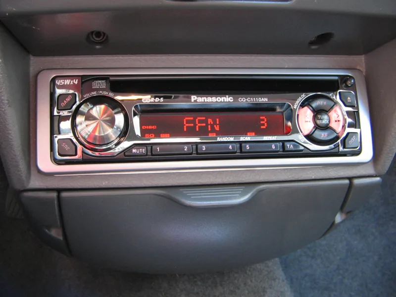
An RDS-TMC receiver is a special FM tuner able to decode the data, while a satellite TMC receiver listens on a dedicated data channel that rides inside much larger digital audio channels. Decoding means checking each event and location code against tables of phrases and places. Those tables must be tied to a database of routes and intersections, and like the navigation system itself they need periodic upgrades as the road system changes, which gives vendors an opportunity to earn revenue.
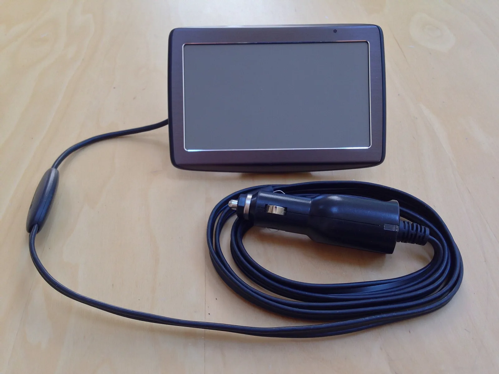
For phone-based navigation, TMC adapters add the feature to units with their own GPS receivers. They connect over Bluetooth or USB, pass the traffic messages to the software for route calculation, and include an FM/TMC connector and an antenna. Compatible programs include AvMap, Destinator PN, GoPal, iGO, Mireo, Navigon MN5, Route 66 and Sygic.
How small is a TMC message?
Very small, and by necessity. An RDS-TMC message comprises 37 data bits, sent at most one to three times per second over a low-capacity channel that was designed primarily for FM station name identification and tuning. Almost all the other bits in each 104-bit RDS group were already assigned.
So the designers allotted 16 bits to the location, 11 bits to the event description, 3 bits to the extent of the event and a few extra bits to duration and system management. Fitting incident descriptions in several languages into that budget was only possible with codes and tables instead of words.
The coding schemes compared
| Scheme | Origin | RDS groups | Location coding | Message coding |
|---|---|---|---|---|
| Madrid proposal (1987) | CCETT and Philips, CARMINAT project | At least two 104-bit groups, 64 traffic bits in all | 33 bits | Cause, effect and advice, 18 bits |
| ALERT A | Modified BASt/Blaupunkt proposal by Castle Rock Consultants | One group per message | 16 bits | 11-bit code, up to 2048 phrases |
| ALERT C | Combined approach agreed after consulting ECMT | Most messages in a single data sequence | 16 bits | 11-bit code, up to 2048 phrases |
How the TMC standard was built
The first detailed proposals for RDS-TMC came from RDS-ALERT, a research project in the European Community's DRIVE programme. Castle Rock Consultants (CRC) led a partnership of the BBC, Philips, Blaupunkt, TRRL and CCETT, and the goal was a draft standard for broadcasting traffic messages in densely coded digital form.
Two competing ideas existed. The first, tabled in Madrid before the European Conference of Ministers of Transport (ECMT), grew out of the CARMINAT research project run by CCETT and Philips. It needed at least two RDS groups per message, using 32 bits in each for traffic data, which gave a message length of 64 bits. The rival, from Bosch-Blaupunkt and the German road research body BASt, wanted just one RDS group per message.
In 1987 the European Commission asked CRC to lead a joint team. It produced a modified version of the BASt and Blaupunkt idea, known as ALERT A, while tests continued at CCETT and the BBC on the CARMINAT approach, which became the basis of an alternative called ALERT B.
The key question in ALERT A was how many places needed a code. Early estimates suggested that Germany might need a maximum of 65,000 significant junctions, which 16 bits could cover by giving each intersection a number between 1 and 65535. For France, Britain and elsewhere, calculations put the need nearer 30,000 to 40,000 locations, enough for a typical European nation or U.S. state, so a standard 16-bit location code was adopted for inter-urban networks. The Madrid proposal had spent 33 bits on the problem spot, with separate fields for road number, class and region. That gave a theoretical 8.5 billion codes, the bulk of them unusable in practice.
After consultation with ECMT, a combined approach called the ALERT C protocol took the best features of each. ALERT A and C swapped the CARMINAT categories of cause, effect and advice for a single 11-bit basic message code, which allows up to 2048 phrases. That cut the basic content from 18 to 11 bits, and the new location codes saved 17 of the 33 bits previously assigned, so the great majority of messages could be sent as a single TMC data sequence. In 1991 ECMT recommended further testing, and work continued in the DRIVE II project ATT-ALERT with a larger consortium that included Volvo and Ford.
The standard itself was later looked after by TMC-Forum, a non-profit body whose members included service providers, receiver and car makers, map vendors, broadcasters, motoring clubs and public authorities. It kept the TMC-Standard, ISO 14819. Then, on 11 November 2007, it merged with the TPEG-Forum to form the Traveller Information Services Association (TISA), which inherited its duties.
Why TMC locations are only approximate
A system designed to describe traffic events across a whole state or country could not carry precise latitude and longitude. Such data became available about 25 years later through GPS in apps such as Waze. TMC relies instead on location tables that refer solely to major highway junctions.
That makes the report coarse. The navigation system may know where the car is to about 3 metres (10 feet), but it only learns that a crash lies somewhere between Exit 3 and Exit 4, northbound. If the nearest table point is some distance from the real incident, the report appears as a stretch of main road between two junctions rather than at its exact spot, and the receiver may occasionally make a poor route choice.
Systems such as CARS, the Condition Acquisition and Reporting System used in the United States and elsewhere, can pinpoint an event or its start and end points to one-metre precision, and publish the data in XML for companies such as Google and TomTom. Even so, a major incident usually spreads from hundreds of metres to many kilometres once queues form, and on motorways there are typically few or no detours between significant junctions. Locations can change quickly as queues grow, so GPS-based systems are more precise but not necessarily more accurate.
Can TMC traffic data be faked?
In April 2007 two Italian security researchers presented a talk at the CanSecWest conference called "Unusual Car Navigation Tricks". Their point was that RDS-TMC is a wireless protocol sent in cleartext, and they showed how to build a receiver and transmitter from inexpensive electronics able to inject false and potentially dangerous messages. Instructions appeared in Issue No. 64 of Phrack hacking magazine.
The TMC Forum replied that pirate broadcasts would have no effect on users not on affected routes, and that they would interfere with the national TMC carrier station and expose the offender to criminal or civil liability. It judged such activity unlikely. Yet real attacks have occurred. In Belgium in 2019, drivers were told of "air raids" on the E40 in March and of "firefights" on the E17 that August. Officials advised drivers to disregard the messages, and local police said tracing the transmitter would be difficult and that arrests or convictions were unlikely.
Coverage: TMC in Australia, the US and Austria
Coverage can be patchier than the radio station that carries it, creating white spots. In the United States, Clear Channel Communications ran one of the two commercial TMC services, covering 95 FM station urban markets that typically have some traffic information. The other, Sirius Satellite Radio, blankets North America, rural and desert regions included.
In Australia the service is called the SUNA Traffic Channel and is broadcast by Intelematics Australia as a national encrypted RDS-TMC service. Around 85% of urban Australia is covered, through commercial FM broadcasters in seven cities, and it also supplies XML for online and smartphone applications. It is available on navigation systems from Navman, Mio, Uniden, Eclipse, Pioneer, Alpine and Clarion and in iPhone apps Navigon and Sygic, and in Ford, Holden, Honda, Toyota, Nissan and Mercedes-Benz systems, among others.
SUNA is currently the only provider of full metropolitan congestion data in Australia, through proprietary links to traffic light control systems. The broadcast complies with both RDS and TMC, but because the signal is encrypted, in-car systems without a commercial arrangement with SUNA cannot use it.
Austria offers a free service. ORF broadcasts it on O1, O2 (nine regional channels), Hitradio O3 and FM4, backed by Austria's federal ministry for innovation, mobility and infrastructure (BMIMI), with ASFINAG responsible for the location table, now at version 3.
What is the Navigation Data Standard?
TMC says what is happening on the road. The map underneath it is another matter. The Navigation Data Standard (NDS) is a standardised format for automotive-grade navigation databases, developed jointly by carmakers and suppliers. Its members are automotive manufacturers, map data providers and navigation device and application makers, organised as an association registered in Germany.
The aim is a standard binary format that lets different systems exchange navigation data. By splitting navigation software from navigation data, NDS gives makers more freedom to build different products, and the databases can be updated in increments, are protected against illegal use and stay compact. NDS products reached the market in 2012 and have appeared in BMW, Daimler and Volkswagen cars.
How is an NDS map database organised?
An NDS database uses the SQLite file format, and it can hold several product databases, each of which can be divided into update regions. That makes versioning flexible and lets databases from different suppliers sit in a single NDS database.
- A product database is delivered by one supplier, has its own version control and can be updated independently of the others. An example is Europe basic navigation supplied by TomTom.
- An update region is a geographic area that can be updated on its own. Each European country in that product might be one region.
- A building block holds one functional aspect of navigation, for example place-name entry, routing or drawing the map. A system may combine blocks, for instance routing and map display, to calculate a route and show it. A Europe database could carry a Basic Map Display block for France and another for Germany.
The association supplies tools to its members: an NDS SQLite reference engine, the Relational DataScript code generator for Java and C++, a Certification Bench that validates databases against detailed test cases and issues certificates, Investigation Modules for testing on target hardware, and a Database Inspector for viewing databases.
Who belongs to the NDS association?
The association was founded in September 2008. As of October 2020 its members included BMW, Daimler, Volkswagen, Hyundai, Nissan, Renault and Toyota's Mapmaster, and suppliers and map makers such as Aisin AW, Alps Alpine, Autonavi, Baidu, Bosch, Clarion, DENSO, Garmin, Harman, HERE Technologies, Hitachi, Huawei, Mitsubishi Electric, NavInfo, Pioneer, SK Telecom, Telenav, Tencent, TomTom, TRI-AD and Zenrin.
Its structure consists of a Board that represents it legally, a General Assembly of all members that approves budgets and fees, a Steering Committee for management, a Technical Committee, a Product Definition Group that sets the products and roadmap, working groups on topics such as map format, autonomous driving and cloud navigation, and a Validation and Certification Board.
What it means when you buy or drive a car
In practice a TMC-equipped navigation system will warn about congestion and can route around it, but it works from junction-to-junction information, and in some places the broadcast is encrypted or incomplete. Higher-end personal navigation devices include a TMC receiver, and the service appears, depending on the market, in units from Garmin, TomTom, Pioneer and others, and in Volvo, BMW and Ford Falcon systems.
Carmakers continue to roll out RDS-TMC. One reason given is that use of mobile devices attracts legislative attention over driver distraction, whereas in-vehicle navigation, like the car radio, has so far escaped the same worries and may keep outselling handheld devices.
Where this goes next
NDS describes its vision as a leading worldwide map standard for automotive use, one that supports advanced navigation technologies such as eHorizon, autonomous driving and cloud solutions. Its goals include faster extensions to the standard, wider adoption in the worldwide automotive market, certification of compliance and a larger association.
On the traffic side, TPEG sits alongside ALERT C as a protocol that TMC can use, TISA has taken over the work of the old forums, and personal navigation devices using GPS and mobile connections have emerged as an alternative route for traffic information.